Raipur, September 23, 2026: Chhattisgarh Government has taken a significant initiative towards the accurate, scientific, and technology-based assessment of paddy cultivation areas in the state.
A crucial Memorandum of Understanding (MoU) was signed today between the Directorate of Food, Civil Supplies and Consumer Protection, Chhattisgarh, and the Chhattisgarh Council of Science and Technology (CGCOST), official sources said.
Under this agreement, modern technologies such as satellite imagery, remote sensing, and Geographic Information System (GIS) will be utilized to map and verify the area under paddy cultivation in the state.

Present on the occasion were Sonmoni Borah, Principal Secretary, Department of Science and Technology; Reena Baba Saheb Kangale, Secretary, Department of Food, Civil Supplies and Consumer Protection; Dr Fariha Alam, Director, Department of Food, Civil Supplies and Consumer Protection; and Kavishwar, Director, Chhattisgarh Council of Science and Technology (CGCOST).
The objective of this agreement is to make the assessment of the actual paddy cultivation area in the state more accurate and reliable. This technology-driven system will establish better coordination among land records, digital crop surveys, and satellite-based crop verification. It will help enhance data accuracy and strengthen transparency in processes related to paddy procurement.
Under the agreement, special emphasis will be placed on identifying and mapping agricultural lands—particularly those falling under the Forest Rights Act (FRA) and submergence zones, for which details are currently unavailable in a geo-referenced format. A GIS-based polygon layer will be created for such agricultural areas, ensuring a digital geographical identity for the respective land parcels.
The area under paddy cultivation in these regions will be assessed using satellite imagery and remote sensing technology. This will enable the availability of more accurate geospatial information regarding actual crop conditions and agricultural acreage, even in areas where digital verification based on traditional land records has faced practical challenges.
The latitude and longitude coordinates of land parcels in other geo-referenced agricultural areas of the state will be cross-verified with satellite imagery. Based on this, the presence of paddy crops on specific land parcels can be technically verified. This process will facilitate better alignment between digital records and the actual status of the fields.
The use of data obtained through satellite imagery and GIS-based mapping will reduce reliance on manual intervention for estimating paddy acreage and enable a more systematic and scientific analysis of crop conditions across large geographical areas.
This technical collaboration between the Directorate of Food and CGCOST will strengthen the geospatial foundation required for digital crop surveys in the state. In particular, the digital identification and mapping of FRA (Forest Rights Act) and submergence areas will allow agricultural data from these regions to be integrated into the digital system in a more organized manner.
This initiative will allow digital land information, crop surveys, and satellite-based verification to complement one another. It will provide a more reliable basis for future crop acreage estimation and the analysis of agricultural data.
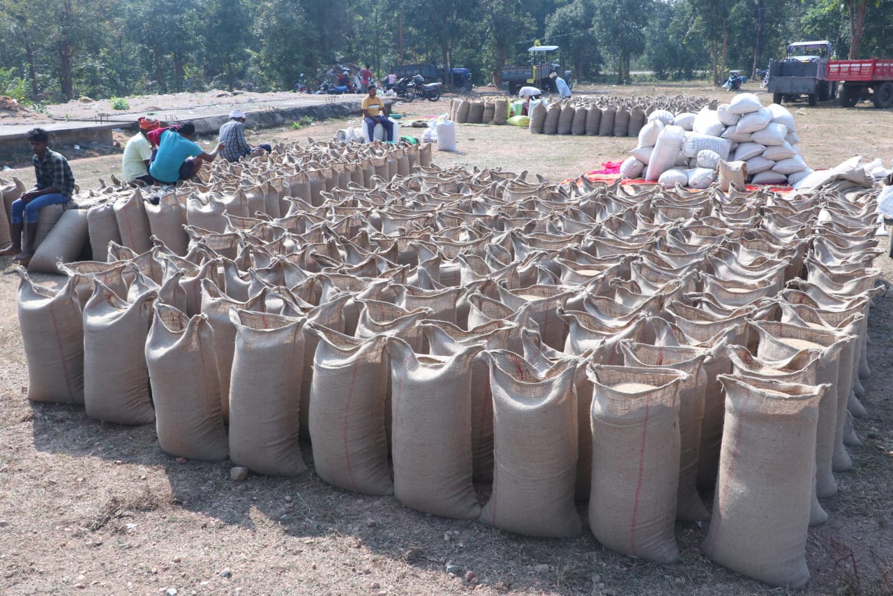
Paddy procurement in Chhattisgarh involves an extensive administrative system. Consequently, accurate information regarding the actual area under paddy cultivation plays a crucial role in making the procurement system effective. The new technical framework will increase the use of satellite and geospatial data for verifying paddy acreage, thereby providing more authentic data for procurement-related decision-making.
This initiative marks a significant step towards integrating the state’s paddy procurement system with modern technology and data-driven processes. Enhanced coordination among land records, digital crop surveys, GIS mapping, and satellite-based crop verification will improve the accuracy of paddy acreage estimation and further strengthen transparency and reliability across the entire system.